Remote Sensing Changes Detection Dataset

High-quality satellite and UAV imagery with precise annotations for ML development

Use Case: Remote Sensing Changes Detection Dataset
Format: Image
Count: 230.1k
Annotation: Yes
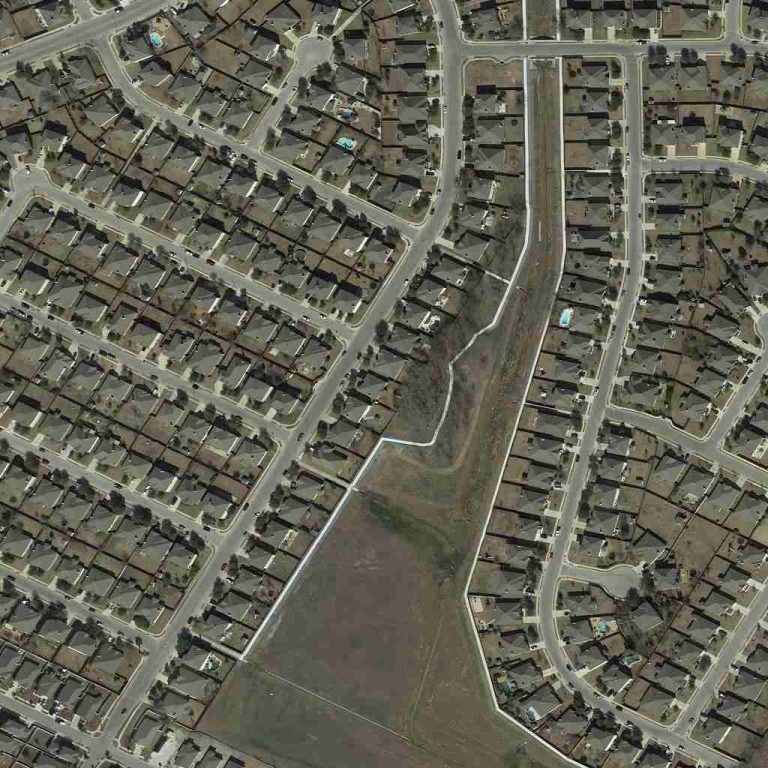
Description: The "Remote Sensing Changes Detection Dataset" is a pivotal resource for the remote sensing field, featuring internet-collected images at a uniform resolution of 1024 x 1024 pixels. This dataset is specifically annotated for mask segmentation, distinguishing between front-phase and back-phase building labels, to facilitate the detection of changes in urban and rural landscapes.

Use Case: Remote Sensing Object Segmentation Dataset
Format: Image
Count: 210.2k
Annotation: Yes
Description: The "Remote Sensing Object Segmentation Dataset" is a key asset for the remote sensing field, combining images from the DOTA open dataset and additional internet sources. With resolutions ranging from 451 × 839 to 6573 × 3727 pixels for standard images and up to 25574 × 15342 pixels for uncut large images, this dataset includes diverse categories like playgrounds, vehicles, and sports courts, all annotated for instance and semantic segmentation.
Use Case: Remote Sensing Scenes Segmentation Dataset
Format: Image
Count: 100
Annotation: Yes
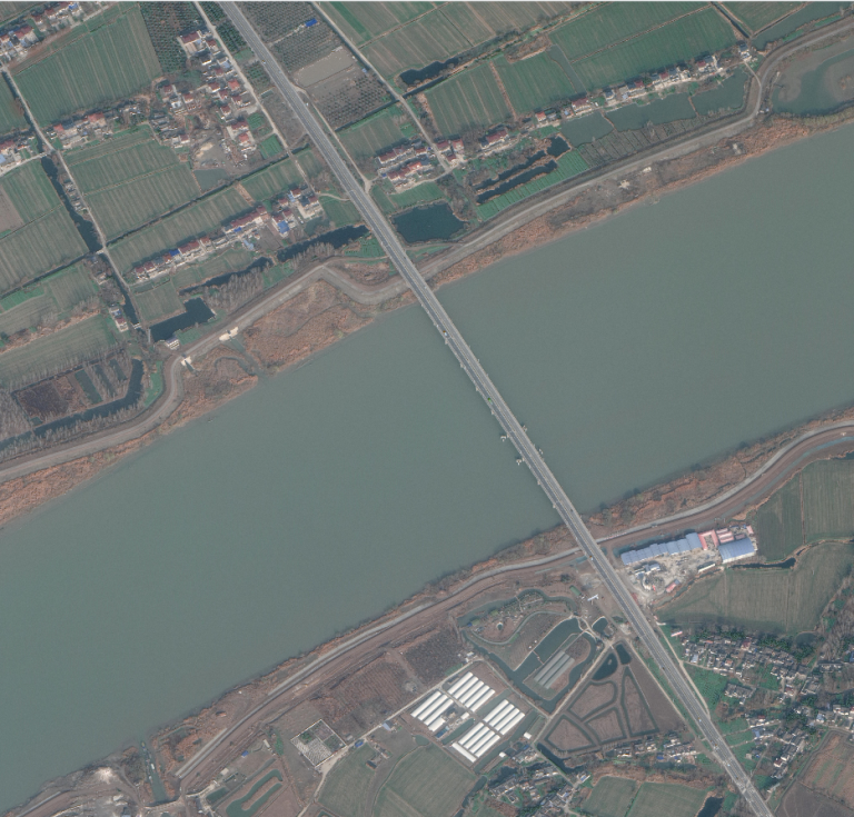
Description: The "Remote Sensing Scenes Segmentation Dataset" is a specialized collection for the remote sensing domain, comprised of high-resolution satellite images sourced from the internet, with dimensions ranging from 10752 x 10240 to 12470 x 13650 pixels. This dataset is designed for semantic segmentation, with annotations covering various natural and man-made features such as buildings, forests, water bodies, roads, and farmland.
Use Case: Satellite Components Segmentation Dataset
Format: Image
Count: 22.9k
Annotation: Yes
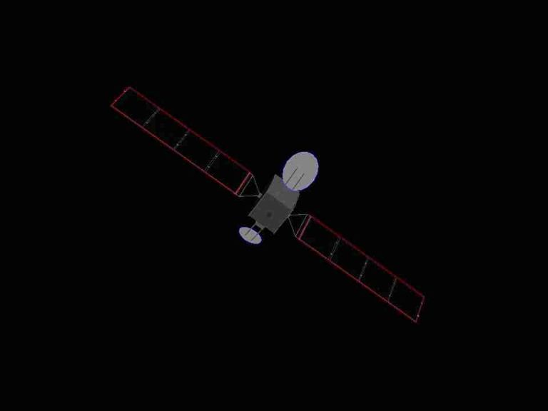
Description: The "Satellite Components Segmentation Dataset" caters to the manufacturing sector, particularly in aerospace and satellite production, featuring internet-collected images with resolutions ranging from 960 x 720 to 1537 x 1018 pixels. This dataset is aimed at semantic segmentation and polygon annotations, covering a wide array of satellite components such as sailboards, antennas, nozzles, and more, to support precision manufacturing and assembly processes.

Use Case: Satellite Ships Segmentation Dataset
Format: Image
Count: 100
Annotation: Yes
Description: The "Satellite Ships Segmentation Dataset" is a specialized collection for remote sensing applications, derived from high-resolution satellite imagery with dimensions ranging from 14,722 x 20,949 to 38,133 x 14,604 pixels. This dataset is focused on semantic segmentation, featuring annotations for ships including Automatic Identification System (AIS) information and satellite icon notes, facilitating detailed maritime monitoring and analysis.

Use Case: Satellite Vehicle Bounding Box Dataset
Format: Image
Count: 5k
Annotation: Yes
Description: The "Satellite Vehicle Bounding Box Dataset" is designed for applications in visual entertainment and autonomous driving, consisting of satellite imagery with pixel resolutions exceeding 5000 x 6000. For annotation purposes, these high-resolution images are segmented into uniform sizes. This dataset specializes in the use of bounding boxes to outline vehicle contours within infrared imagery, focusing solely on the broad category of "CAR" for annotation.

Use Case: UAV aerial Photography Multi-Object dataset
Format: Image
Count: 28k
Annotation: Yes
Description: The "UAV Aerial Photography Multi-Object Dataset" is designed for smart transportation applications, featuring a collection of internet-collected UAV (Unmanned Aerial Vehicle) aerial photography images with a resolution of 1920 x 1080 pixels. This dataset predominantly covers large-scale scenes such as parking lots and highways, with each image containing over 200 vehicles. Every object within these images is meticulously annotated with a bounding box that aligns with the object's orientation, ensuring precise vehicle detection and tracking.

We use cookies to improve your experience on our site. By using our site, you consent to cookies.
Manage your cookie preferences below:
Essential cookies enable basic functions and are necessary for the proper function of the website.
Google Tag Manager simplifies the management of marketing tags on your website without code changes.
Statistics cookies collect information anonymously. This information helps us understand how visitors use our website.
Google Analytics is a powerful tool that tracks and analyzes website traffic for informed marketing decisions.
Service URL: policies.google.com (opens in a new window)
Marketing cookies are used to follow visitors to websites. The intention is to show ads that are relevant and engaging to the individual user.
Google Ads is an online advertising platform that enables businesses to create targeted ads displayed on Google search results and partner sites.
Service URL: policies.google.com (opens in a new window)
HubSpot is an all-in-one marketing, sales, and customer service platform that streamlines business growth.
Service URL: legal.hubspot.com (opens in a new window)
You can find more information in our Cookie Policy and Privacy Policy.